Satellite Imagery Yield Estimation Testing
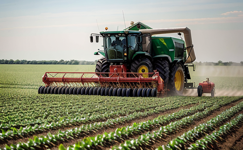
Understanding and optimizing crop yield is essential in modern agriculture. Satellite imagery provides a unique perspective, allowing for non-invasive monitoring of large areas with high resolution and precision. This service leverages satellite imagery to estimate crop yields by analyzing various parameters such as chlorophyll content, soil moisture levels, plant health indices, and more.
The process starts with acquiring high-definition satellite images that cover the specific area of interest. These images are then processed using advanced algorithms and machine learning models to extract relevant data points. This data is used to create detailed maps and reports on crop growth stages, health status, and overall yield potential. The accuracy of these estimations can significantly impact decision-making processes in agriculture and forestry.
Our team uses industry-standard techniques and protocols such as the Normalized Difference Vegetation Index (NDVI) for assessing vegetation health. We also employ other indices like the Enhanced Vegetation Index (EVI), which is particularly useful in dense canopy areas. These indices help us determine the actual biomass, which directly contributes to predicting future yields accurately.
For accurate yield estimation, we ensure that the satellite imagery covers all relevant areas comprehensively and at appropriate times throughout the growing season. This includes capturing images during critical periods like flowering, fruiting, or ripening phases. By analyzing these images, our service provides insights into not only current but also potential future yields, enabling better resource allocation.
| Step | Action | Output |
|---|---|---|
| 1 | Acquire satellite imagery of the target area. | High-resolution image data. |
| 2 | Analyze images using NDVI and EVI algorithms. | Data on vegetation health and biomass estimation. |
| 3 | Create detailed yield maps based on analysis results. | Detailed spatial data for yield prediction. |
| 4 | Generate reports and recommendations for stakeholders. | Comprehensive report including actionable insights. |
Why It Matters
The importance of accurate yield estimation cannot be overstated, especially in sectors like agriculture and forestry. By using satellite imagery for this purpose, we can achieve several key benefits:
- Improved Resource Allocation: Precise yield estimates allow farmers to allocate resources more efficiently, reducing waste and increasing profitability.
- Precision Farming: This technology supports precision farming practices, where inputs are applied based on real-time data rather than broad averages.
- Sustainability: Efficient use of water, fertilizers, and other resources contributes to sustainable agricultural practices.
- Enhanced Decision Making: Stakeholders can make more informed decisions regarding market strategies, insurance claims, or expansion plans based on reliable yield data.
Environmental and Sustainability Contributions
The use of satellite imagery in agriculture and forestry has significant environmental benefits. Here are some key contributions:
- Reduced Carbon Footprint: By optimizing resource usage, the technology helps minimize emissions associated with excessive farming practices.
- Biodiversity Preservation: Monitoring crop health can prevent over-farming which might otherwise lead to habitat destruction.
- Water Conservation: Accurate yield estimation supports targeted irrigation systems, leading to efficient water use.
Use Cases and Application Examples
Satellite imagery yield estimation testing finds application across various sectors:
| Application | Purpose | Outcome |
|---|---|---|
| Farm Management | Monitor crop health, optimize resource allocation. | Informed decision-making for better yields and sustainability. |
| Agronomy Research | Study growth patterns, identify stress factors. | Promote scientific advancements in crop management techniques. |
| Drought Monitoring | Assess impacted areas, plan interventions. | Avoid losses due to drought by timely interventions. |